Climate Intelligence
An open, keyless climate instrument: hand it any coordinate on Earth and it returns a sourced, multi-hazard exposure profile with a live satellite view, then hands the whole engine to AI agents.
- Period
- 2026–present
- Status
- Prototype
- Role
- Founder and full-stack developer
- Scale
- Global, any coordinate
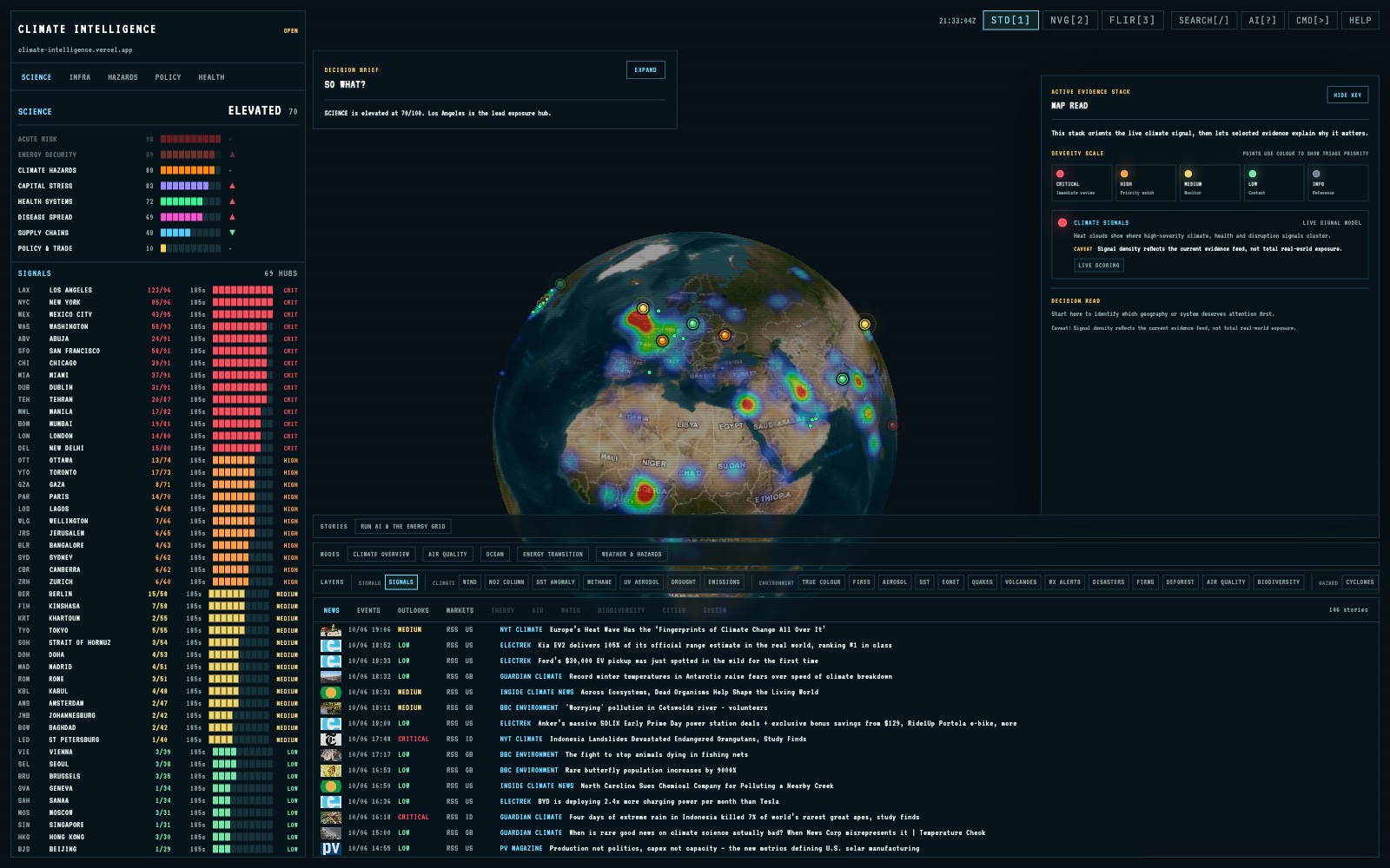
Physical climate-risk screening, knowing what extreme heat, drought, wildfire weather or coastal exposure a specific place actually faces, is normally paywalled, opaque and difficult to reproduce. The task was to build an open instrument that turns any coordinate into a sourced exposure profile from public, keyless data anyone can rerun, while acknowledging the prior situational-awareness concept that informed the reorientation.
My contribution
I reoriented a geopolitical situational-awareness concept into an open climate instrument and built Site Assess, the per-location engine. It fans out keyless hazard adapters in parallel, so one unavailable feed degrades to a clearly marked missing sub-score instead of failing the assessment. The deterministic composite retains the worst hazard as well as the weighted mean, renormalises only over feeds that returned data, and derives confidence from coverage and source quality. I added a live Sentinel-2 preview through keyless STAC, served the engine through a read-only API, and exposed authenticated, read-only tools over the Model Context Protocol.
Decisions and constraints
Decisions I made
- Keep the core sources open and keyless so the evidence path remains inspectable.
- Retain the single worst hazard alongside the weighted mean so a severe exposure cannot disappear inside an average.
- Renormalise only over hazards that returned data, and expose missing coverage instead of silently scoring it as safety.
- Give people and agents the same read-only functions, provenance and claim boundaries.
Operating constraint
Feeds vary in availability, licensing and commercial suitability. The score therefore has to remain deterministic and visibly degrade when a source is unavailable, while the public case must distinguish the climate implementation from the earlier concept that informed it.
Claim boundary: This is hazard and exposure screening, not loss modelling. The per-location engine and read-only agent tools are usable; the global-monitoring layer is still being hardened, and riverine flood remains contextual until return-period scoring lands. The work acknowledges its conceptual lineage and does not claim the source concept as my own.
What can be checked.
- A per-location Climate Exposure Profile with a dominant hazard, confidence value, heat outlook and per-hazard provenance, served through a read-only endpoint.
- A live Sentinel-2 preview through keyless STAC, plus a deterministic report generated without an LLM or per-request model spend.
- An authenticated, read-only MCP surface allowing agents to call the same inspectable climate functions.
- A broad regression suite and an explicit source catalogue recording each feed's provenance and licence tier.
Documents, code and live work.
The case study states the claim. These sources let you inspect the underlying artefact in its original context.