Spatial Derive
A walking instrument that makes the phone already in your pocket a way to record the street's sensory texture, the layer satellites and administrative data leave out, by deepening attention rather than optimising a route.
- Period
- 2023–present
- Status
- Ongoing practice
- Role
- Founder and artist-technologist
- Scale
- Body, street and city
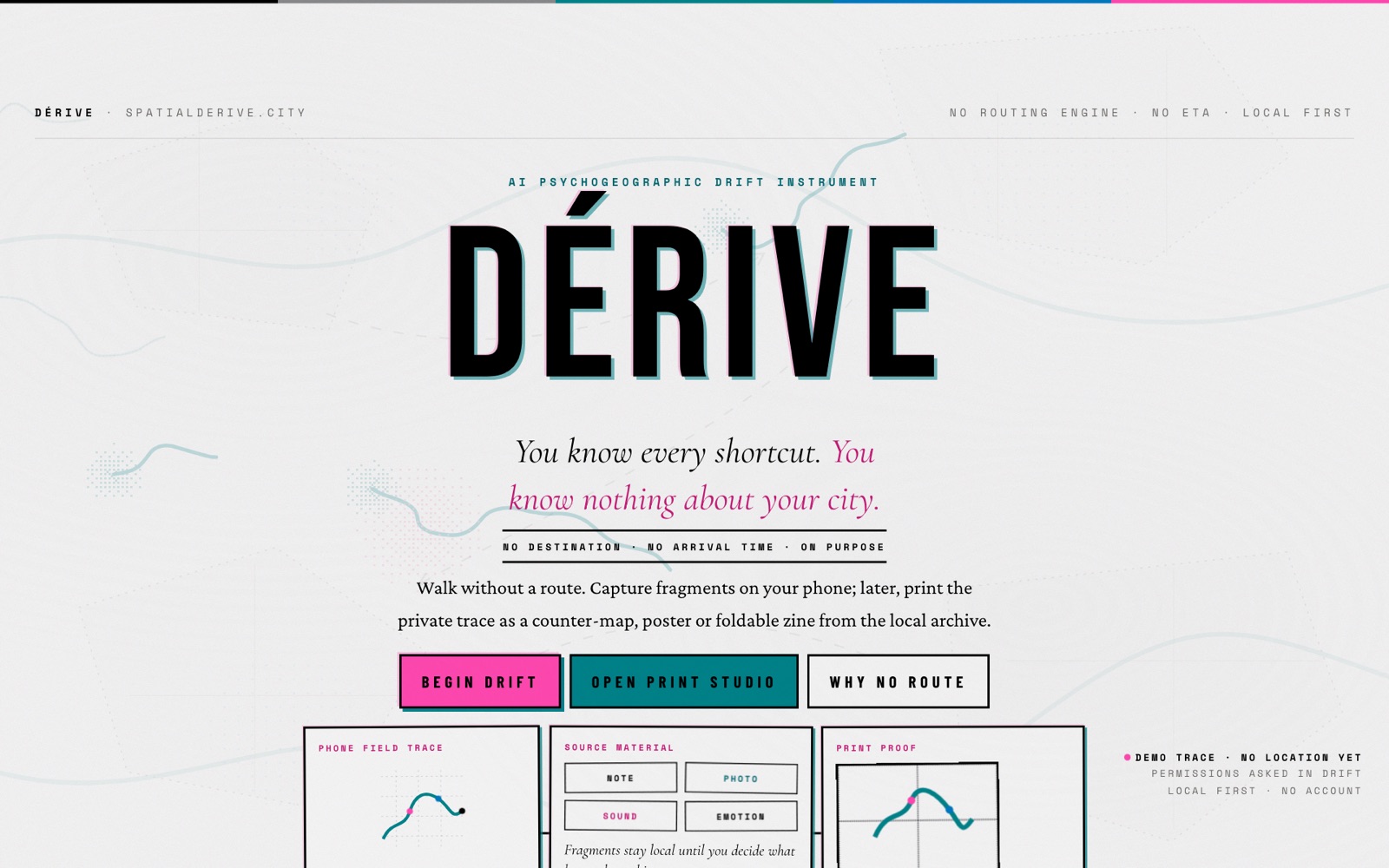
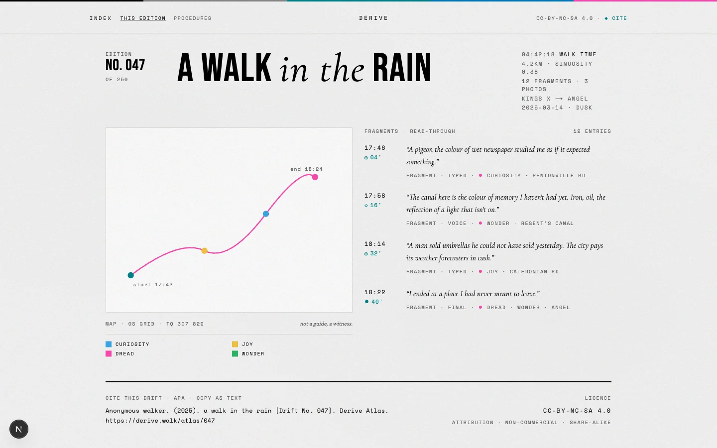 Open the full artefact in a new tab
Interface study for publishing a drift as route, fragments, affect and citation.
Source: working Derive repository. This demonstrates the publication grammar, not a verified walk.Inspect full plate (opens in a new tab)Founder and artist-technologist
- A deployed mobile-first PWA at spatialderive.city, with local-first persistence in IndexedDB and a walking interface that remains useful without an account.
- A documented export system spanning structured data, a data dictionary, zines, fold-imposed PDFs, countermaps, posters and a complete bundle.
- Architectural decision records and a drafted DPIA for optional physiological data; the stricter public cross-walker workshop threshold is specified separately from other release contexts.
- Automated unit and end-to-end coverage across the narrator, sensors, persistence, export and interface layers.
Spatial Derive is the umbrella practice; the public Derive app is one evolving prototype within it, not a finished or peer-reviewed research claim. The DPIA is a draft pending UK data-protection-lawyer review before any production physiological-data launch, and several research metrics are partially instrumented rather than validated.
Satellite imagery and administrative datasets describe a city from above and at scale, but they omit the micro-scale, embodied texture of a street as a body actually moves through it, and the dominant map tools we do carry are built to optimise for the fastest route rather than attention. The task was to build a walking instrument that uses the phone already in a walker's pocket to record that omitted sensory layer and to deepen situated attention, without collapsing into another navigation product, and while treating location, captured media and consent with real care.
My contribution
I designed and built Spatial Derive as a practice and its public prototype, Derive: a mobile-first, local-first PWA (Next.js 16, React 19, TypeScript, Zustand, Dexie over IndexedDB) where the walk itself is the interface. I wired a location-aware narrator that observes and questions rather than instructs, routed across hosted and on-device models, alongside a generative Tone.js soundscape, an acoustic-classification experiment mapped towards the ISO 12913-2 soundscape axes and drift-analysis measures derived from phone sensors. I authored a privacy architecture with three separate, unbundled consent acts, a hash-chained consent ledger and a draft Data Protection Impact Assessment for optional physiological data. Raw R-R intervals are designed to be discarded on-device. The public cross-walker workshop release has the stricter proposed threshold of k at least 20, epsilon 1 and H3 resolution 8; other release contexts remain separately governed. I also built counter-cartographic outputs that let a drift leave the screen as a printed object, including GeoJSON, CSV, a data dictionary, RISO-style zines, fold-imposed PDFs and printable countermaps.
Decisions and constraints
Decisions I made
- Made walking the primary interface and shaped the narrator to observe and question rather than optimise a route, so the tool deepens attention instead of removing it.
- Went local-first by default, deriving sensitive signals on-device so raw data stays on the phone, and treated consent friction as a feature: three separate unbundled acts (GPS, physiological, per-drift research contribution), no pre-ticked boxes, no dark patterns.
- Routed AI across hosted and on-device models so the instrument can balance expressive quality, cost and offline use without presenting any one provider as the product.
- Grounded each research measure in a named tradition (Lynch, Gehl, Hillier, Lefebvre, the Russell circumplex and ISO 12913-2) and recorded non-trivial choices in architectural decision records rather than presenting them as finished findings.
Operating constraint
Everything has to run on a phone in public space, stay legible while walking, and treat location, captured fragments and opt-in physiological signals lawfully and locally, with raw sensitive data never leaving the device by default.
Claim boundary: Spatial Derive is the umbrella practice; the public Derive app is one evolving prototype within it, not a finished or peer-reviewed research claim. The DPIA is a draft pending UK data-protection-lawyer review before any production physiological-data launch, and several research metrics are partially instrumented rather than validated.
What can be checked.
- A deployed mobile-first PWA at spatialderive.city, with local-first persistence in IndexedDB and a walking interface that remains useful without an account.
- A documented export system spanning structured data, a data dictionary, zines, fold-imposed PDFs, countermaps, posters and a complete bundle.
- Architectural decision records and a drafted DPIA for optional physiological data; the stricter public cross-walker workshop threshold is specified separately from other release contexts.
- Automated unit and end-to-end coverage across the narrator, sensors, persistence, export and interface layers.
Documents, code and live work.
The case study states the claim. These sources let you inspect the underlying artefact in its original context.