What does a digital twin owe the street?
A climate model should be tested against the place it describes. My PhD proposal asks how field measurements can ground a street-scale climate twin, and guide where to measure next.
Measure. Ground. Scale.
A convincing visualisation and a trustworthy model are different achievements. This prototype explores how an interface can keep that distinction visible.
- 01 / Measure the radiant environmentThermal walks and six-directional radiometry would provide an independent field reference for conditions experienced at pedestrian height.
- 02 / Ground the climate physicsTest the SOLWEIG model against those observations, with explicit uncertainty and failure criteria.
- 03 / Scale only what the evidence supportsEvaluate faster models and whether uncertainty can guide the next measurement better than a spatially balanced baseline.
These are proposed research stages. The interactive study uses earlier Barcelona research geometry to explore the interface; it does not display PhD field measurements.
A field observatory
BCN / 01Climate, in three dimensions.
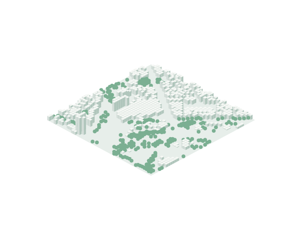
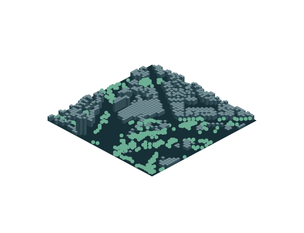
Barcelona · Static research geometry
Built form · Canopy · Terrain
Start with the city model.
Buildings, terrain and tree canopy form a 3D research model. A foundation for asking how urban form shapes exposure to heat.
Data, method and limits
- Geometry: a 144 × 144-cell window sampled to 48 × 48 from the original Barcelona building-height, canopy and terrain grids used in my Shaping Cool Cities work. Inspect the source manifest.
- The 3D view contains 665 sampled building columns and 277 canopy columns. These are rendering elements, not counts of individual buildings or trees.
- The colour layer is a normalised modelled solar input. It is neither measured air temperature nor a validated ML forecast. Missing solar values remain missing.
- Sensor positions and connecting lines illustrate a proposed workflow. There is no live sensor feed.
- The research geometry is simplified for presentation. VoxCity provides the underlying urban modelling toolkit; input-data rights remain separate from its software licence.