Upside Down World
A live, interactive re-projection that turns the 1569 Mercator worldview against itself: flip the planet south-up and its familiar neutrality falls away, exposing north-on-top as a five-hundred-year-old choice, not a fact.
- Period
- 2023–present
- Status
- Ongoing practice
- Role
- Artist and developer
- Scale
- Planetary representation
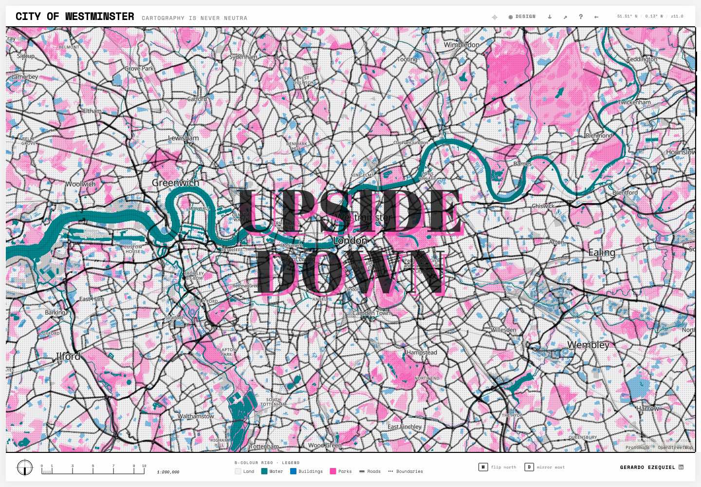
 Open the full artefact in a new tab
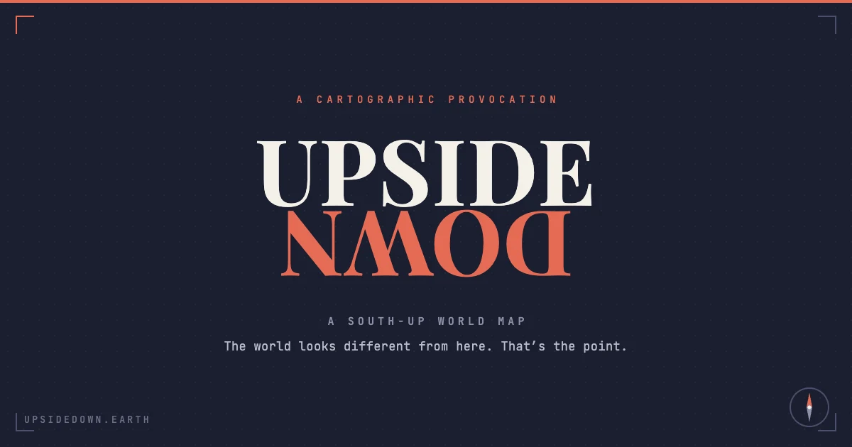
Public identity plate for a south-up cartographic provocation.
Source: Upside Down World public project asset.Inspect full plate (opens in a new tab)Artist and developer
- A public, browser-native map (MapLibre GL v5) that flips south-up and reorients on drag, so the bias is felt through the hand rather than only read.
- An honest treatment of the engine's limits: the live surface renders the Mercator-and-Globe flip, while alternative projections are exported as static plates rather than misrepresented as interactive.
- A free, unwatermarked poster export as the deliberate growth mechanism, where the shareable artefact is itself the argument.
- Framing that names north-on-top as a 1569 Mercator choice built for European sea navigation, turning a map toy into a piece of map critique.
A cartographic provocation about orientation and whose worldview a standard map encodes, not a proposal to standardise a south-up world.
The map most people carry in their heads, north on top, Europe centred, Greenland the size of Africa, reads as simple truth, yet it is a specific 1569 projection built for European sea navigation that quietly inflates the global north and shrinks everyone else. The task was to make that invisible bias felt rather than merely argued, by building a public map anyone can flip, distort and export, and to do it as a warm provocation about orientation, not a po-faced proposal to standardise a south-up world.
My contribution
I built a browser-native map that lets anyone grab the planet, flip it south-up and reorient it, so the argument is made by the hand rather than the caption. Because MapLibre GL v5 renders only Mercator and Globe interactively, I treated that limit as part of the piece: the live surface carries the flip and the distortion people can feel, while the alternative projections that sharpen the political point are rendered as clean, exportable plates rather than faked as live. The whole thing resolves to a free, unwatermarked poster anyone can export and share, which is the growth engine and the politics at once, because the critique travels precisely because it is given away.
Decisions and constraints
Decisions I made
- Make the bias felt, not lectured: lead with a flip anyone can perform in a single gesture rather than an essay, because a worldview you overturn with your own hand is harder to un-see than one you are told about.
- Give the output away: keep the poster free and unwatermarked so the critique spreads on its own, and refuse to gate the very artefact that carries the argument.
Operating constraint
A solo, unfunded build with a hard rendering limit: MapLibre GL v5 renders only Mercator and Globe interactively, so every alternative projection had to be earned another way. The free, clean, shareable poster is treated as the growth engine, which rules out watermarking or gating the output.
Claim boundary: A cartographic provocation about orientation and whose worldview a standard map encodes, not a proposal to standardise a south-up world.
What can be checked.
- A public, browser-native map (MapLibre GL v5) that flips south-up and reorients on drag, so the bias is felt through the hand rather than only read.
- An honest treatment of the engine's limits: the live surface renders the Mercator-and-Globe flip, while alternative projections are exported as static plates rather than misrepresented as interactive.
- A free, unwatermarked poster export as the deliberate growth mechanism, where the shareable artefact is itself the argument.
- Framing that names north-on-top as a 1569 Mercator choice built for European sea navigation, turning a map toy into a piece of map critique.
Documents, code and live work.
The case study states the claim. These sources let you inspect the underlying artefact in its original context.