StageBuilding
Last activity (observed)
30 Day Map Challenge
Preparation and maps for the #30DayMapChallenge, 1 to 30 November 2026.
- Seven years of past themes (2019 to 2025) analysed into a curation plan. (sourced)
A dated ledger of projects that are not finished cases. Each entry says where the work stands, links only to public pages, and shows when work last happened, read from git. Finished work is on Work.
Stage is the project’s own state, written as a word. Each line and log item carries its evidence class: sourced when it is quoted or summarised from a README, a live page or this site’s own record, observed when it is a dated check or a git fact. Entries run from the most recent activity to none recorded.
Last activity is the date of the most recent commit on each project’s most recently active branch, read from git on 28 October 2026.
StageBuilding
Last activity (observed)
Preparation and maps for the #30DayMapChallenge, 1 to 30 November 2026.
StageBuilding
Last activity (observed)
A career workspace for geospatial professionals, from CV to tailored applications and learning priorities.

StagePrototype
Last activity (observed)
A prototype field journal for photographs, sound and observations along a proposed Marrakesh-to-Lagos journey.
StagePrototype
Last activity (observed)
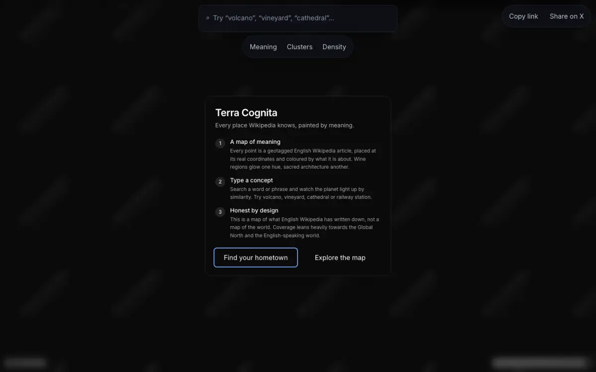
An atlas of English Wikipedia articles at their real coordinates, searched by meaning.
StageBuilding
Last activity (observed)
A walking workshop using maps, print and a mobile companion to examine twenty years of Olympic Park regeneration.
StagePrototype
Last activity (observed)
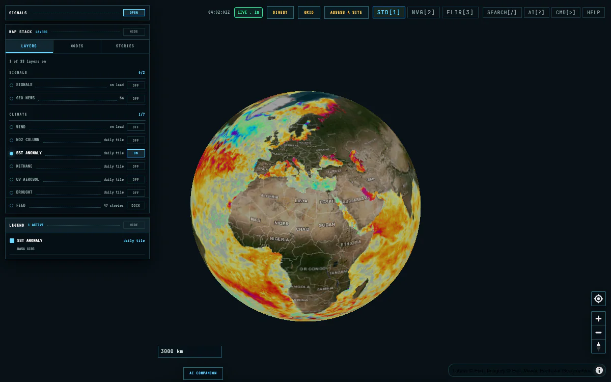
One map console for a place’s climate hazards, energy systems and environmental exposure.
Limits
Screening proxies, not hazard models; no insured-loss estimate.
StageEvent
Last activity (observed)
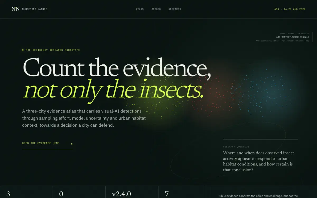
An evidence atlas for insect-activity records, prepared for the Numbering Nature summer school.
StagePrototype
Last activity (observed)
A local-first lakehouse for urban heat exposure and vulnerability evidence in the UK.
StagePrototype
Last activity (observed)
A browser research tool for exploring what lies within walking distance, in London.
StageBuilding
Last activity (observed)
A self-hostable browser tool for making print zines, with a community map and an A4 fold.
StageEvent
Last activity (observed)
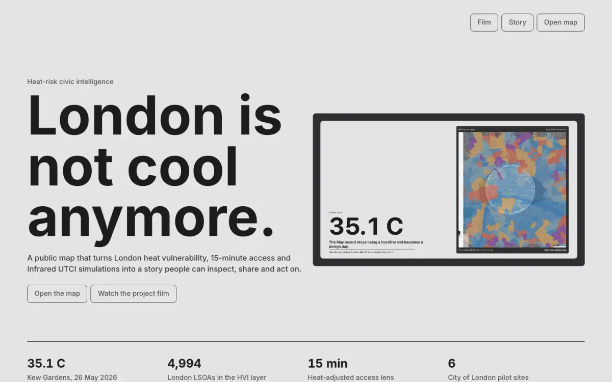
A web app that sets London's heat vulnerability beside 15-minute walking access and microclimate simulation.
StageBuilding
Last activity (observed)
A map of planning decisions made against Environment Agency flood-risk advice, from Flooded People UK’s list.
StageBuilding
Last activityNo recorded activity
A walking app that connects field notes and observations to personal maps and printed zines.