Download this portfolio as PDF
Gerardo Ezequiel Martín Carreño
Urban heat, material flows and spatial methods, connected through research software and critical cartography.
me@gerardoezequiel.xyz · gerardoezequiel.xyz · linkedin.com/in/gerardoezequiel · London
Shaping Cool Cities
MSc thesis and ongoing methods audit: multi-source urban-heat research across six European cities.
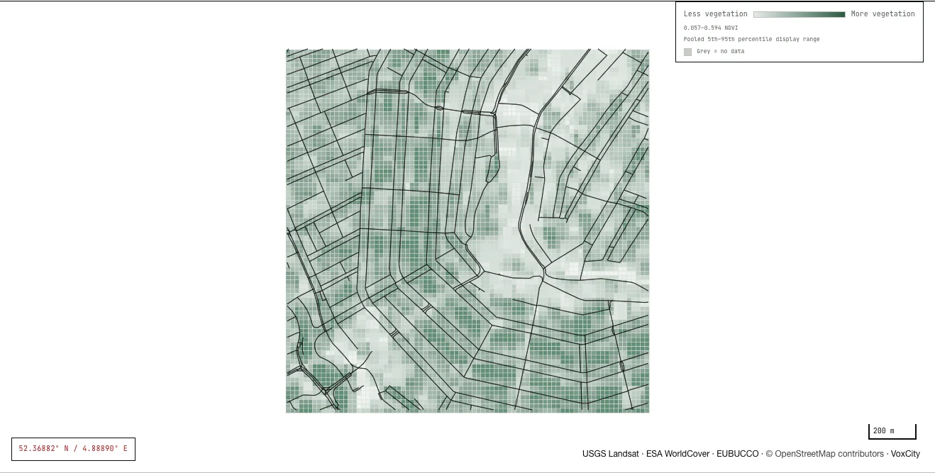
I built a Python pipeline aligning Landsat temperature and vegetation data, VoxCity urban-form measures, Urbanity street networks and Global Streetscapes image semantics, with EUBUCCO building footprints. I trained exploratory XGBoost models and used SHAP to inspect associations. A later audit identified problems in the temperature target and spatial folds; I am rebuilding those stages before publishing performance claims.
I built a Python pipeline aligning Landsat temperature and vegetation data, VoxCity urban-form measures, Urbanity street networks and Global Streetscapes image semantics, with EUBUCCO building footprints. I trained exploratory XGBoost models and used SHAP to inspect associations. A later audit identified problems in the temperature target and spatial folds; I am rebuilding those stages before publishing performance claims.
- An integrated source table for 40,344 cells across Amsterdam, Athens, Barcelona, Berlin, Madrid and Paris, with stable city and grid identifiers.
- A public PMTiles field for inspecting selected inputs, with source hashes and a published manifest.
- A methods audit recording the target, coordinate-feature and fold-design defects that must be corrected before performance is published.
Where the work stands: Model validation is being rebuilt after my own re-audit found problems in the temperature target and in how the spatial cross-validation folds were separated. Until that work is finished, no model score, explanation or cooling scenario here is a validated claim.
CityLoops: Urban Circularity Assessment
Co-authored a city-scale material-flow and stock method with 18 indicators, designed for facilitated application in five pilots.
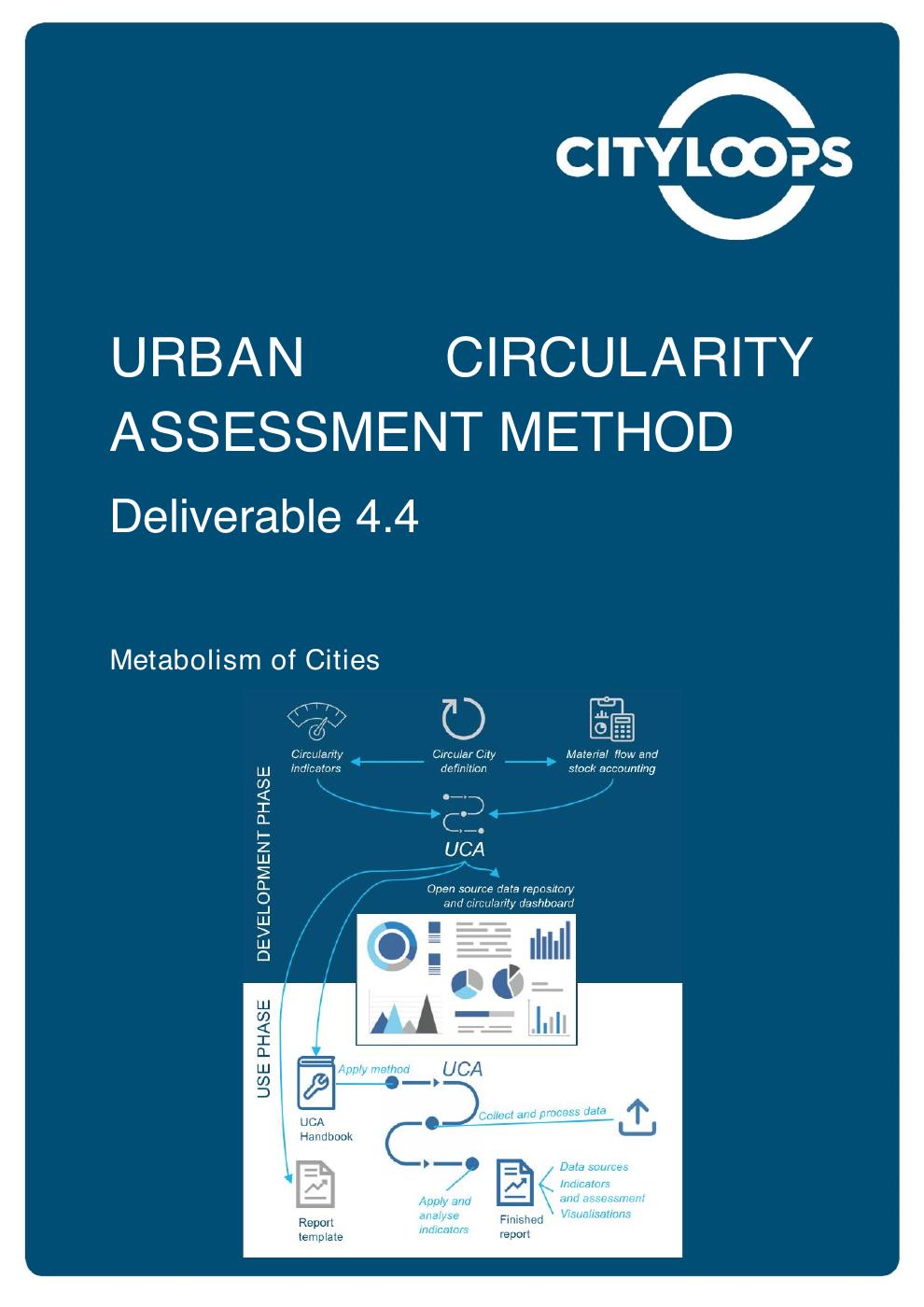
At Metabolism of Cities, I co-developed and co-authored D4.4, the Urban Circularity Assessment Method, as one of four named authors. We combined material-flow accounts for two reference years with bottom-up building-stock accounting and 18 indicators. The method specified Sankey and dashboard outputs for facilitated application in Apeldoorn, Bodø, Mikkeli, Porto and Seville.
At Metabolism of Cities, I co-developed and co-authored D4.4, the Urban Circularity Assessment Method, as one of four named authors. We combined material-flow accounts for two reference years with bottom-up building-stock accounting and 18 indicators. The method specified Sankey and dashboard outputs for facilitated application in Apeldoorn, Bodø, Mikkeli, Porto and Seville.
- Named as one of four authors of CityLoops deliverable D4.4, Urban Circularity Assessment Method.
- The method builds on a predecessor D4.1 review of 29 urban material-flow methods and adapts Eurostat accounting to city scale.
- Ten scale indicators and eight circularity indicators, paired with material-flow and bottom-up building-stock accounts.
- A documented path from data collection and mass balancing to Sankey diagrams, indicators and a city dashboard, prepared for five pilot cities.
Where the work stands: The method estimates urban flows and stocks from available evidence; it does not audit every tonne moving through a city. Published example figures retain their original authorship.
CENTRINNO: Urban Ecosystem Cartography
Co-authored a nine-pilot cartography combining geospatial context, community and material-flow mapping.
At Metabolic, I co-authored D2.2, CENTRINNO Cartography Alpha Version, as one of six named authors. I helped shape a method connecting geographic context, community mapping and material flows. The alpha demonstrator paired a three-page public-site mock-up using Amsterdam as its example with KUMU maps, showing how the approach could support nine pilot cities.
At Metabolic, I co-authored D2.2, CENTRINNO Cartography Alpha Version, as one of six named authors. I helped shape a method connecting geographic context, community mapping and material flows. The alpha demonstrator paired a three-page public-site mock-up using Amsterdam as its example with KUMU maps, showing how the approach could support nine pilot cities.
- Named as one of six authors of CENTRINNO deliverable D2.2, Cartography Alpha Version.
- A common method connecting geospatial context, community mapping and material flows.
- A three-page public-site mock-up using Amsterdam as its example, alongside prepared KUMU maps.
- An alpha method designed to support nine pilot cities, with a public methodology and resource library.
Where the work stands: This is a co-authored method and alpha demonstrator, not evidence of nine fully delivered pilot websites. “Urban ecosystem” refers to resources, infrastructure and social relationships, not a biodiversity survey.
Social Superblocks
A spatial allocation method exploring how Barcelona’s home-care service could be organised around connected neighbourhood areas.
For my master’s thesis (MSc Sustainability Science and Technology and MSc Sustainable Intervention in the Built Environment, UPC) and internship at BCNecologia, I developed a spatial allocation method for the Superilles Socials programme. I used genetic algorithms to form contiguous service zones and evaluated them against care demand, compactness and neighbourhood indicators. The work connected urban form with the organisation of a municipal service.
For my master’s thesis (MSc Sustainability Science and Technology and MSc Sustainable Intervention in the Built Environment, UPC) and internship at BCNecologia, I developed a spatial allocation method for the Superilles Socials programme. I used genetic algorithms to form contiguous service zones and evaluated them against care demand, compactness and neighbourhood indicators. The work connected urban form with the organisation of a municipal service.
- A thesis deposited in the Universitat Politècnica de Catalunya institutional repository under its original-language title.
- A spatial allocation model built for Barcelona's home-care service within the Superilles Socials programme.
- Genetic-algorithm optimisation of contiguous service zones, evaluated against demand, compactness and neighbourhood indicators.
- A method that translates the superblock from a street-design concept into a framework for organising neighbourhood-scale care.
Where the work stands: The case documents a research method. It does not establish that Barcelona adopted the model as its final allocation or that it independently improved care outcomes.